
 EN
EN
 ar
ar bg
bg hr
hr cs
cs da
da nl
nl fi
fi fr
fr de
de el
el hi
hi it
it ko
ko no
no pl
pl pt
pt ro
ro ru
ru es
es sv
sv tl
tl iw
iw id
id lv
lv lt
lt sr
sr sk
sk sl
sl uk
uk vi
vi et
et hu
hu th
th tr
tr fa
fa ms
ms hy
hy ka
ka ur
ur bn
bn mn
mn ta
ta kk
kk uz
uz ku
ku
Sliding Inclinometer
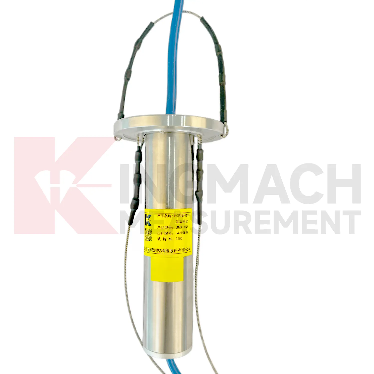
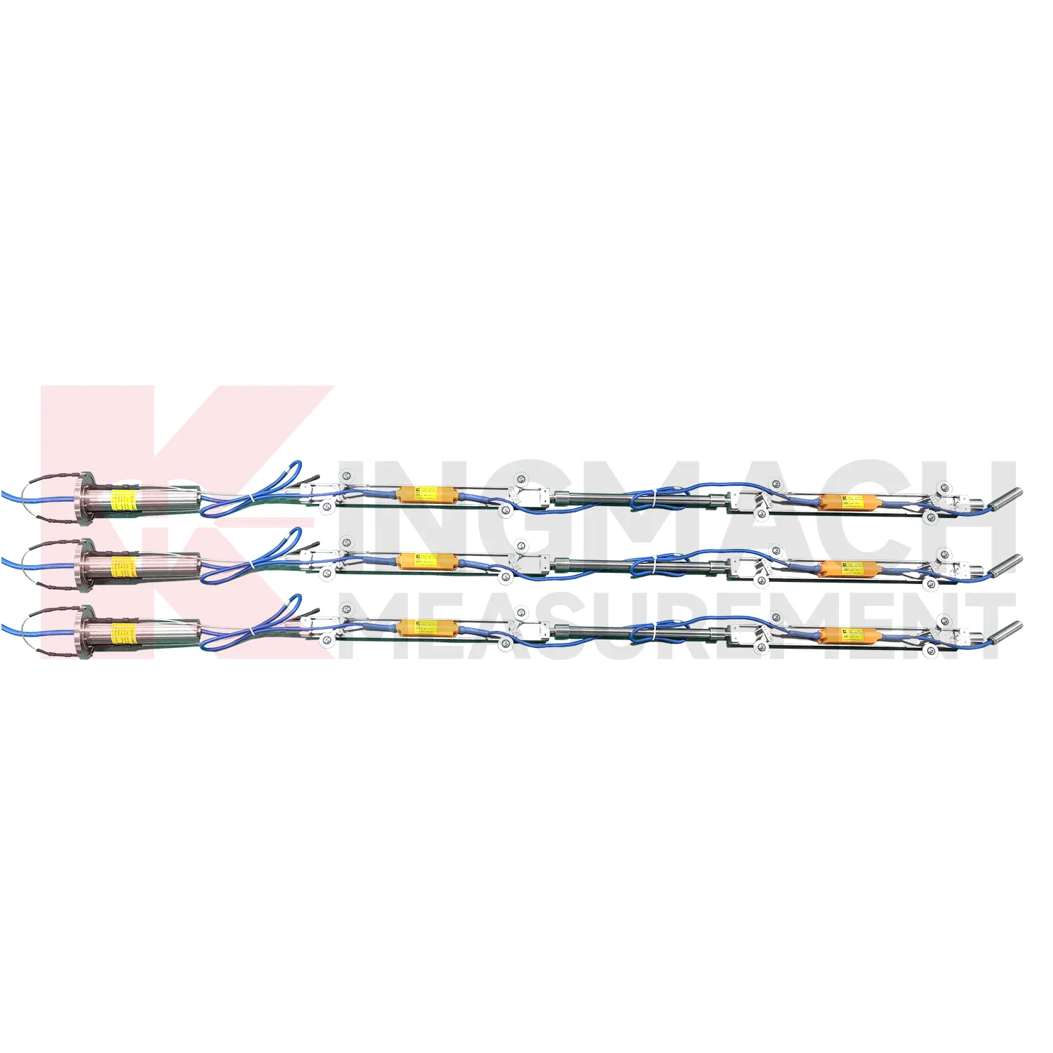
The JMQJ-7915ATS vertical in-place inclinometer system gives Kingmach Sliding Inclinometer a multi-point downhole monitoring method. The system consists of a multi-point tandem inclinometer string and an orifice acquisition module. Multiple MEMS inclination sensors are electrically connected through a single cable inside the borehole, while universal joints and connecting rods arrange measuring points according to design spacing. The system can divide sensors into up to four independent communication groups, uses automatic temperature compensation, and includes electronic identifiers for automatic recognition and intelligent calculation. Published specifications include dual-axis +/-90 degrees tilt range, 0.001 degree resolution, 0.01 degree accuracy, DC 9V to 24V operating voltage, power consumption below 0.2W, single-wire uplink communication at 1200 bps, -30 degrees Celsius to +70 degrees Celsius operating temperature, 0.35 m guide wheel spacing, about 0.8 kg weight, and IP68 protection.
Application of Sliding Inclinometer
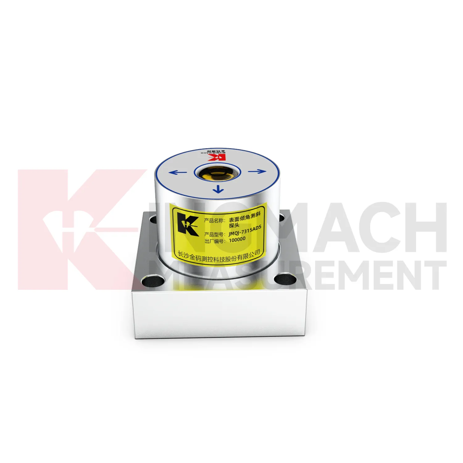
Railway and subway projects use Sliding Inclinometer to observe trackside structures, retaining walls, tunnel linings, station structures, and embankment slopes. JMQJ-7315ADS supports wired RS485 acquisition, while JMQJ-7315RTU can reduce cable work through wireless 4G transmission. For underground or borehole deformation, JMQJ-7915ATS can provide multi-point inclinometer measurements. Tilt data should be interpreted with train operation, vibration, settlement, displacement, lining inspection, groundwater, and construction stage. Railway environments place strict demands on mounting protection and data continuity because access windows may be short. A good record connects each sensor with chainage, side, axis, structural member, and baseline reading. That way a tilt trend can be quickly compared with maintenance work or nearby deformation instruments.
The future of Sliding Inclinometer
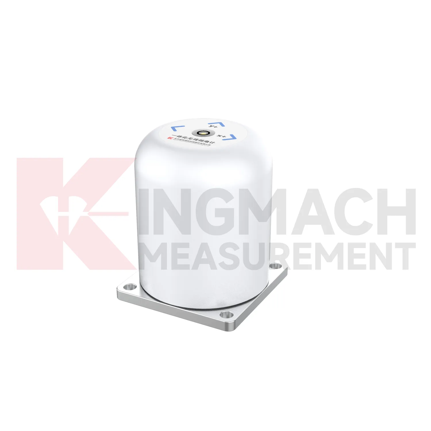
Wireless monitoring will play a larger role in future Sliding Inclinometer projects. JMQJ-7315RTU already combines MEMS tilt sensing with 4G digital output and battery power, which helps when cable routes are long, exposed, or disruptive. Future projects will likely use wireless tilt points on bridges, buildings, slopes, towers, and temporary construction structures where fast deployment matters. Wireless work still needs disciplined planning: antenna location, sampling interval, battery status, data upload timing, and fallback field checks must be defined. The best wireless tilt record will not simply send more data; it will send the right data with enough context for engineers to understand what changed, when it changed, and whether the site needs inspection.
Care & Maintenance of Sliding Inclinometer
Data review is part of maintaining Sliding Inclinometer. A curve should be checked for rate, direction, sudden jumps, missing values, repeated flatlines, and disagreement with nearby instruments. Compare tilt with settlement, displacement, strain, load, pore pressure, rainfall, vibration, and water level when available. For automated systems, verify channel names, units, time stamps, and alarm thresholds after platform changes. For manual readings, keep raw field notes and processed graphs together. If an alarm appears, inspect the mounting point, communication path, recent site work, and related instrument behavior. A good maintenance process treats data quality and field condition as one record, not two separate tasks.
Kingmach Sliding Inclinometer
Kingmach Sliding Inclinometer support both surface structural tilt monitoring and deep internal deformation monitoring. Surface tilt instruments measure the angular change of buildings, bridges, railways, towers, walls, and equipment bases relative to the horizontal plane. Deep inclinometer systems, by contrast, follow angle changes inside soil or structural bodies through a borehole. The JMQJ-7915ATS vertical in-place inclinometer system uses a multi-array MEMS design, universal joints, connecting rods, and an orifice acquisition module to collect multi-point readings. This gives engineers a depth profile rather than one surface reading. That distinction is important in slopes, dams, embankments, foundation pits, and underground works. A surface point may remain calm while a deeper layer starts moving. Using the right tilt method makes the deformation pattern easier to locate.
FAQ
Q: How accurate is the JMQJ-7315ADS tiltmeter?
A: The product page lists 0.001 degree resolution and 0.01 degree accuracy for the +/-15 degree dual-axis model.Q: What protection grade does JMQJ-7315ADS have?
A: It is listed with IP68 waterproof protection and an operating environment from -30 degrees Celsius to +80 degrees Celsius.Q: What range does JMQJ-7315RTU provide?
A: The integrated wireless model lists +/-30 degree and +/-15 degree dual-axis range options, with 0.001 resolution.Q: How many sensors can JMZX-4QH support?
A: The module lists four channels and support for up to 100 sensors in a multi-point inclinometer system.Q: What is the guide wheel spacing for JMZX-7100L?
A: The sliding inclinometer page lists a 500 mm guide wheel spacing reference and a +/-90 degree sensor range.
Reviews
Daniel Brown
Excellent environmental monitoring sensors. The data is consistent, and the system integrates smoothly with our existing setup.
Ryan Lewis
Fast delivery and excellent product quality. The accelerometers and tiltmeters are highly reliable. Strongly recommend this company.
Latest Inquiries
To protect the privacy of our buyers, only public service email domains like Gmail, Yahoo, and MSN will be displayed. Additionally, only a limited portion of the inquiry content will be shown.
Mia***@gmail.comNetherlands
Dear team, we are interested in your readouts & data loggers compatible with multiple sensors. Do yo...
Harper***@gmail.comIndia
Dear Sir, we are planning to procure a complete monitoring system including strain gauges, tiltmeter...